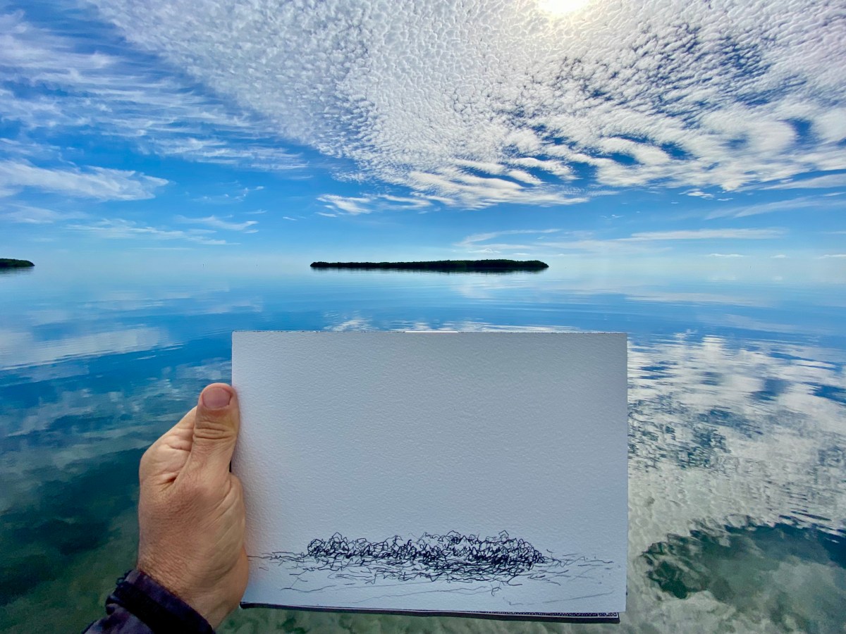
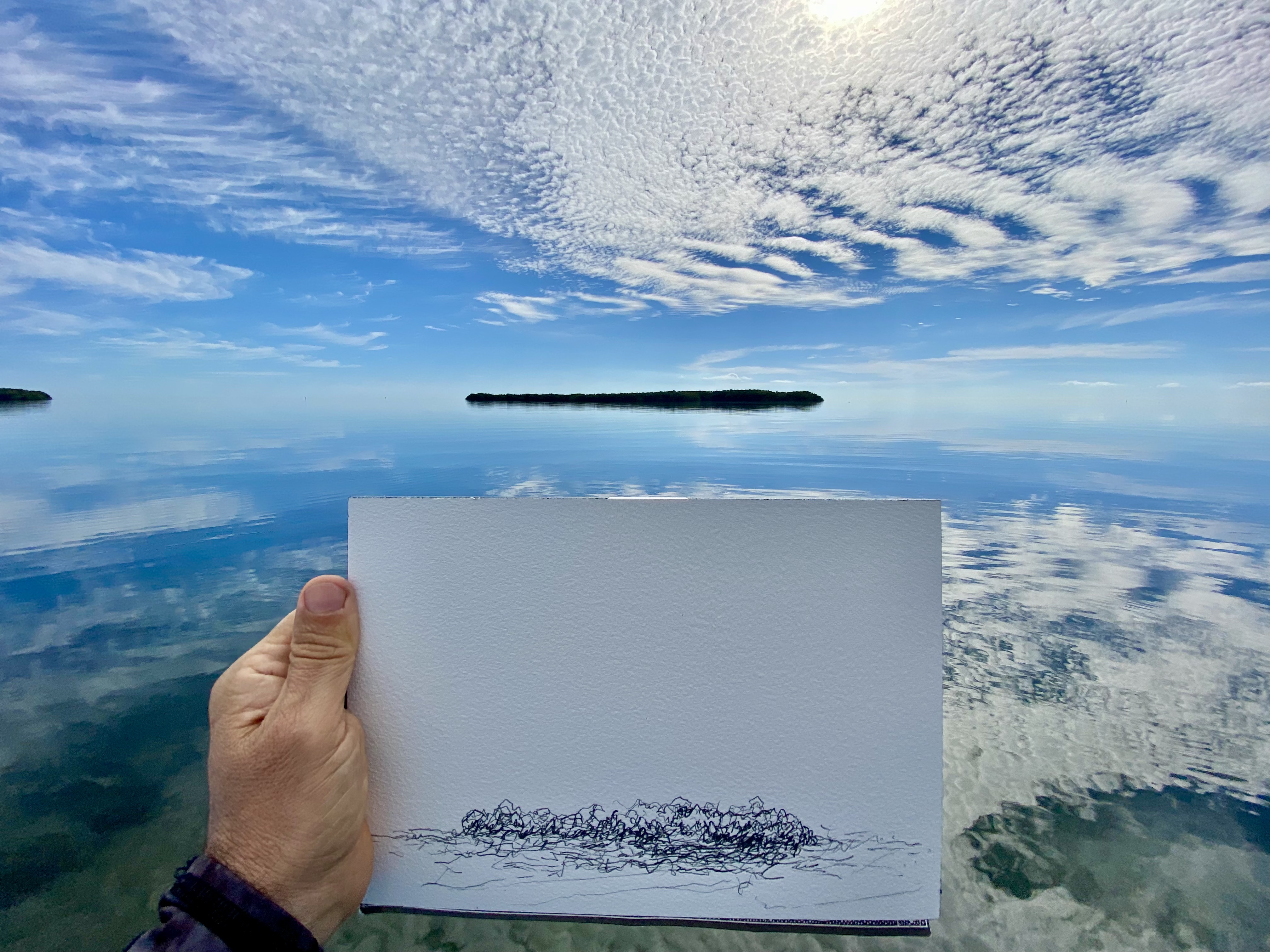
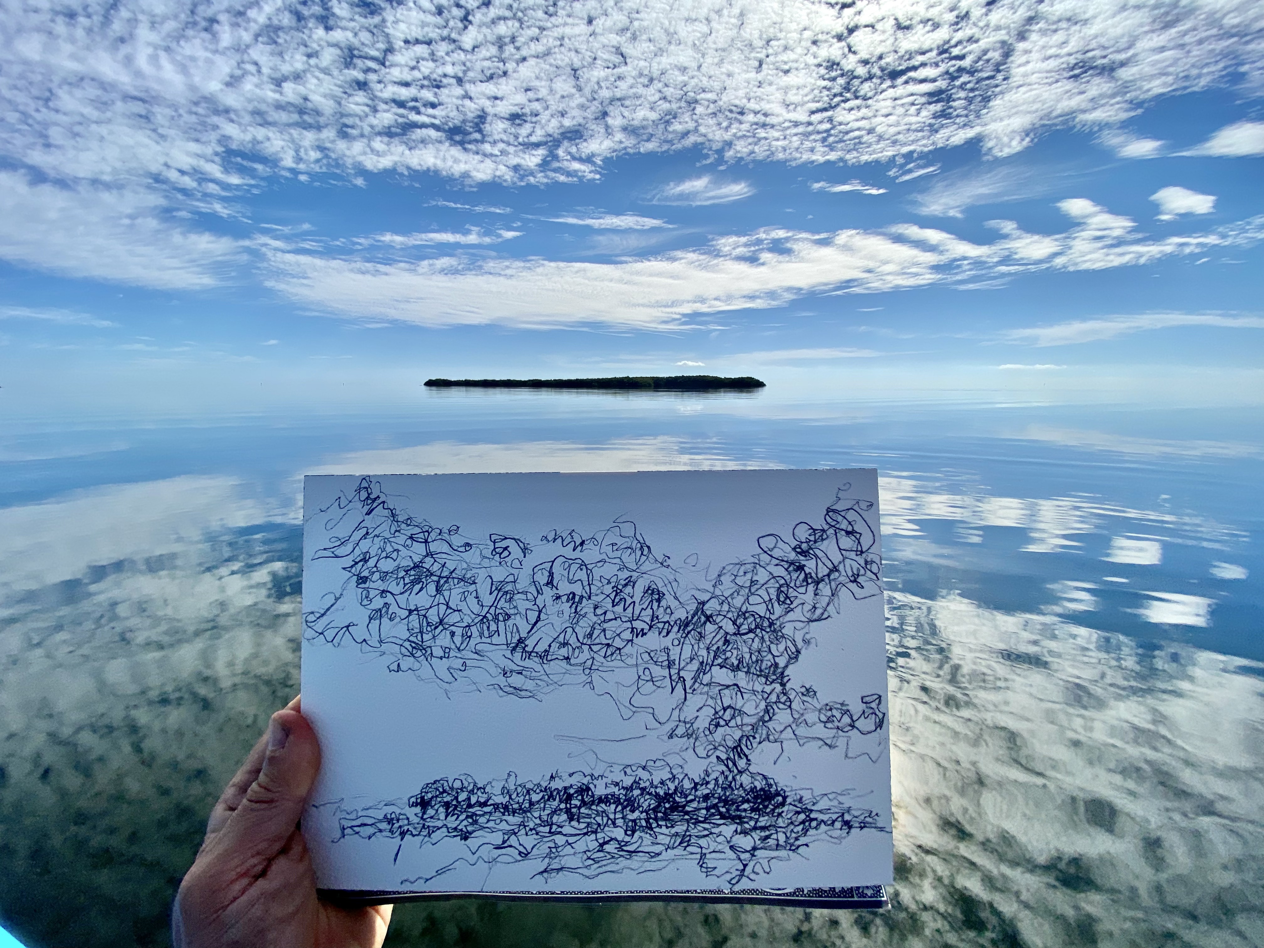
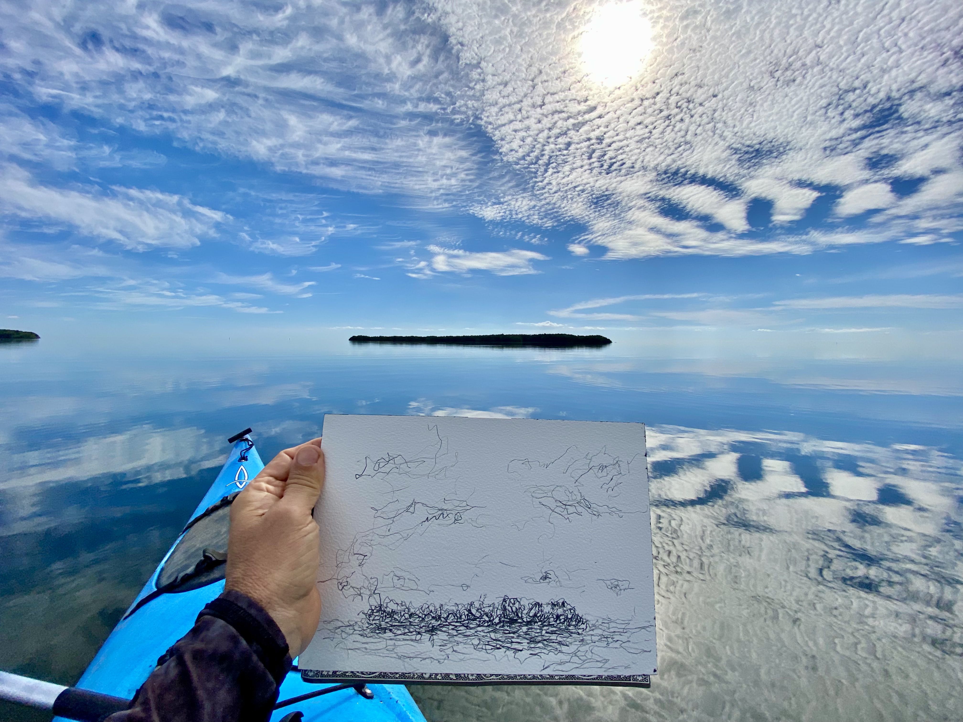
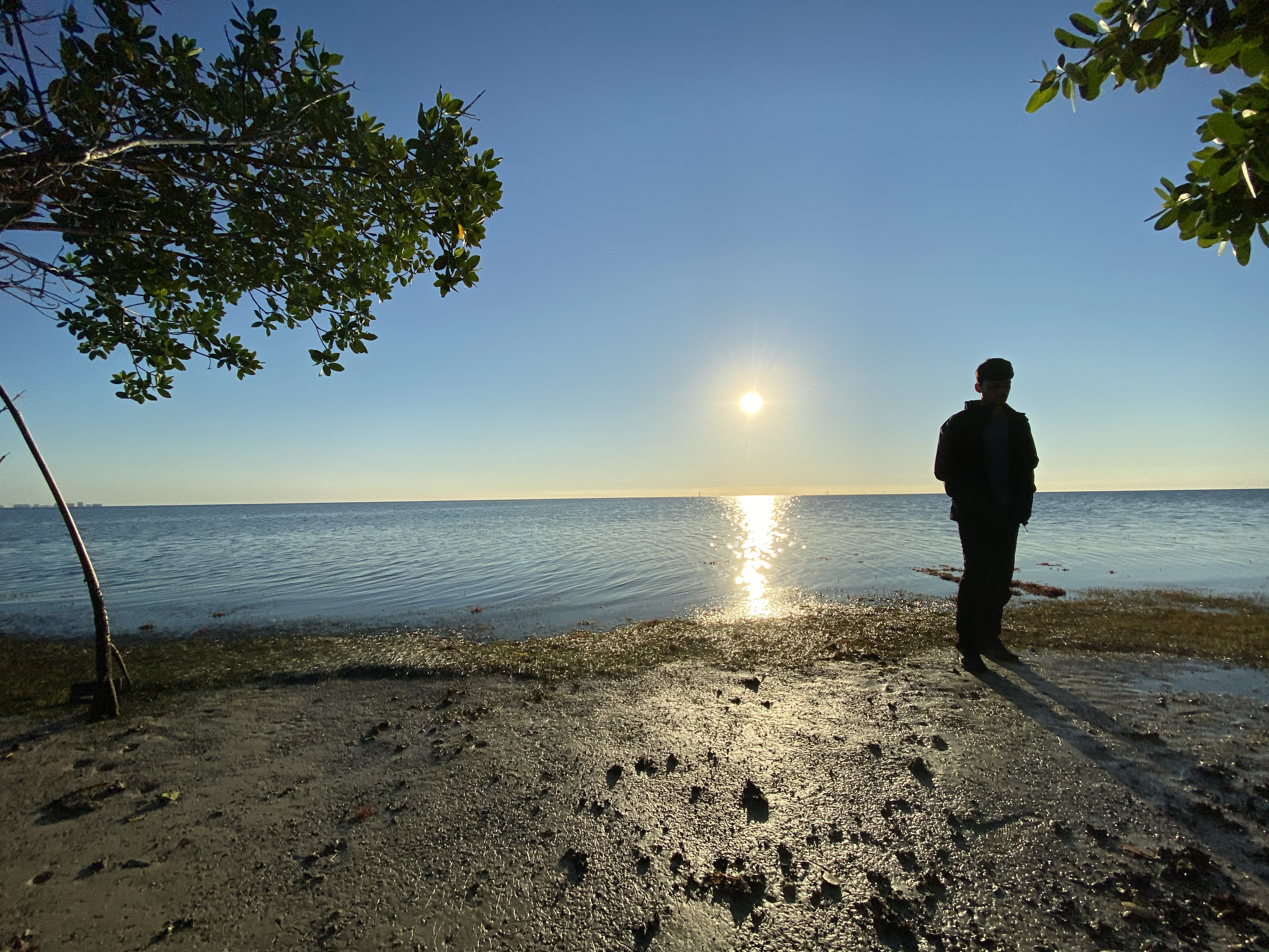
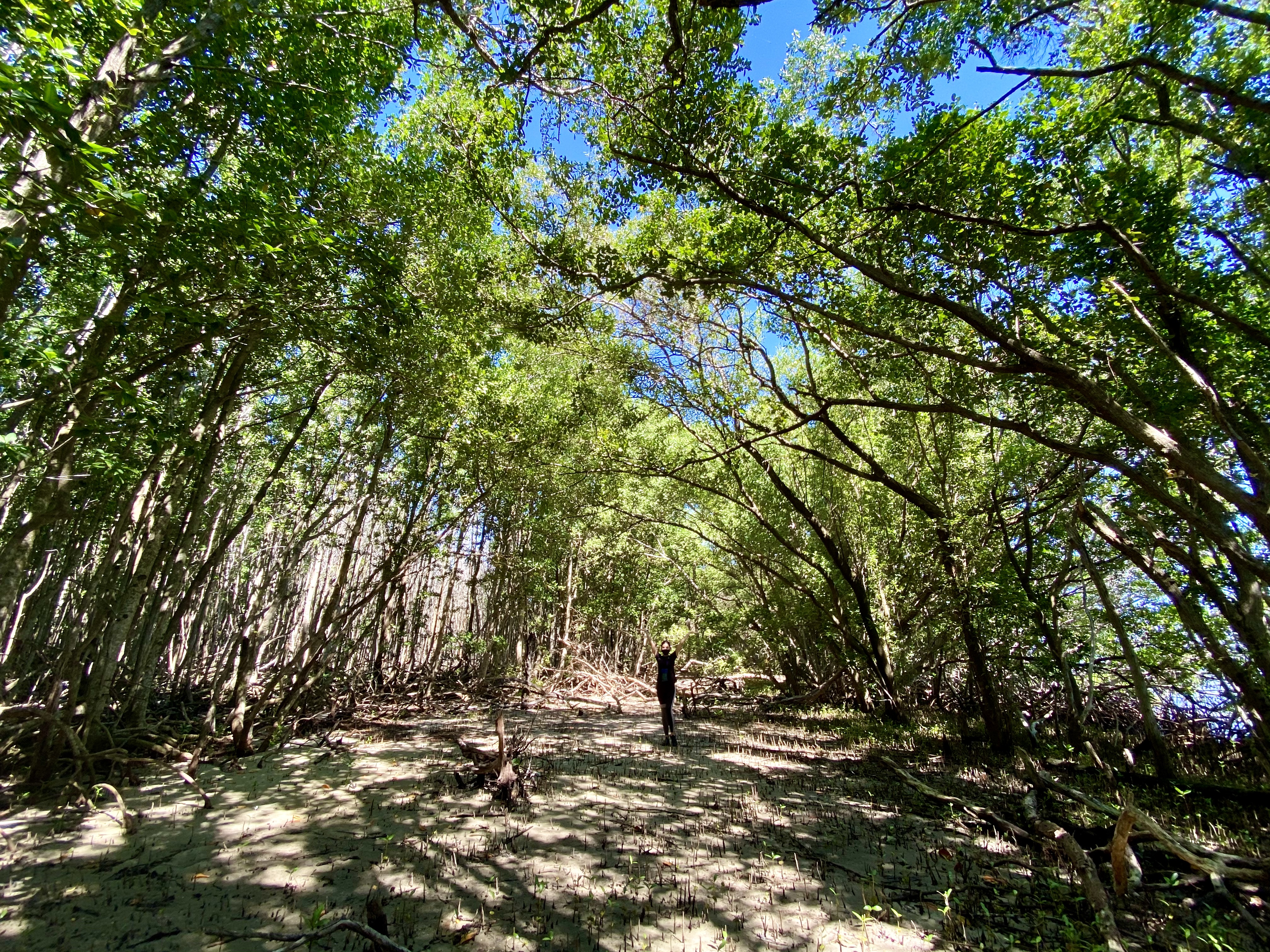
“The island of Chicken Key, located approximately one mile offshore, was formed by the deposition of quartz and limestone sands by ocean currents. An 1899 survey by S. H. Richmond recorded a maximum elevation of three feet above sea level and historically, the island was characterized by a sand beach and low dunes. Dredge deposits in the 1940s increased elevations from 3 to 10 feet on most of the island, destroying the dunes. In 1996-1997, the County restored Chicken Key, removing dredged materials, connecting the mangrove forest and dune system, and re-creating the island’s original topography.” Deering Estate Natural Resources

CREATIVE COMMONS CC BY 4.0
The images on this page are all licensed under Creative Commons Attribution 4.0 International (CC BY 4.0).
You are free to:
Share — copy and redistribute the material in any medium or format
Adapt — remix, transform, and build upon the material for any purpose, even commercially.
Under the following Terms:
Attribution — You must give appropriate credit, provide a link to the license, and indicate if changes were made. You may do so in any reasonable manner, but not in any way that suggests the licensor endorses you or your use.
No additional restrictions — You may not apply legal terms or technological measures that legally restrict others from doing anything the license permits
EDITORS AND LAST UPDATE
John William Bailly 14 October 2022
COPYRIGHT © ALL RIGHTS RESERVED
