Note from Bailly: This topic is too far out of my discipline for me to write anything of academic quality. These lecture notes are a collection of reliable sources that students can refer to.
BISCAYNE BAY
From Marsha Colbert of the Biscayne Bay Environmental Center
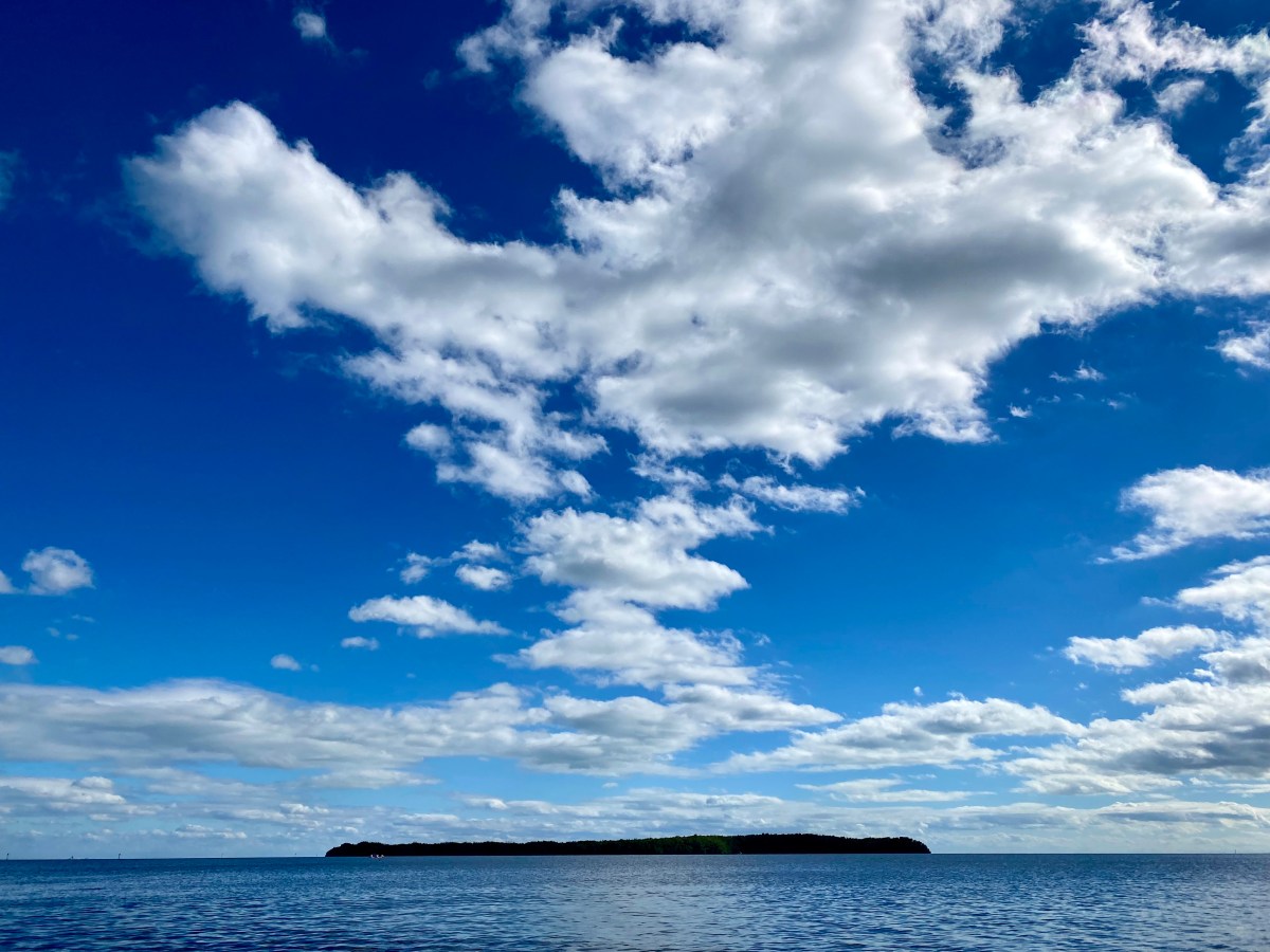
“Biscayne Bay is a shallow, subtropical lagoon along the southeastern coast of Florida. The Bay is a fairly recent geological formation and the average natural depth was historically three to nine feet. Much of this area has been modified and dredged and average depths now range from six feet to ten feet, except in deeper dredged areas and main channels. The Bay is elongated in shape, and located in a north/south trending direction on the southeastern coast of the Florida peninsula. Biscayne Bay Aquatic Preserve consists of two separate areas of the Bay, one occupying the northern part of the Bay (roughly, just south of Cape Florida on the east, and just south of Chicken Key on the west), and the other occupying the southern portion (Card Sound). The two areas are separated by Biscayne National Park, an underwater park which occupies the central portion of the Bay.”
“The northern part of the preserve is bordered on the east by the barrier islands of Miami Beach, Fisher Island, Virginia Key, and Key Biscayne and on the west by the predominantly residentially developed mainland shore and the Miami central business district. Urban development and the construction of causeways and the Port of Miami have subdivided the northern preserve into eight basins. Over 20% of the North Bay area has been dredged. The deepest areas of the north bay are the borrow pit north of the Julia Tuttle Causeway and the Government Cut Channel which have been dredged to 26-29 feet and 40 feet respectively. Despite the development that has taken place in the northern bay there still exists an abundance of lush seagrass beds and mangrove fringe forests in certain areas.”
BISCAYNE BAY ECOLOGY
From “About Biscayne Bay” from Miami-Dade County
Biscayne Bay was historically a highly productive subtropical estuary fueled by large volumes of freshwater from the Everglades. This clean freshwater was the bay’s lifeblood, mixing with ocean water to create low salinities on the western side of the bay that promoted extensive growth of mangroves, oysters and seagrass beds.
Historically, Biscayne Bay received freshwater along its shoreline as water traveled south and east, mixing with water from the Atlantic Ocean. Today, natural freshwater flows have been replaced by pulsed, point source discharges from dredged canals, intended to offer flood protection and move water away from inland areas.
Canals can intercept groundwater, and more than half of the freshwater received by the Bay enters via the northernmost canals where the most notable seagrass losses have occurred. Runoff from the land, impacted by the activities taking place on land, degrade the quality of the water entering canals and Biscayne Bay. The timing, source and quality of freshwater delivered to the Bay can and has influenced the health, diversity and distribution of the flora and fauna that comprise the Biscayne Bay ecosystem.
While there may be a general awareness in South Florida of the importance of the Biscayne Aquifer and the need to protect the quality of the groundwater in this aquifer as our sole source of drinking water, what is less known is the connection of this aquifer to Biscayne Bay and the Bay’s dependence on large volumes of clean, fresh water for its ecological health.
Hydrological changes, water management practices, upland development, and aged infrastructure have contributed to degraded water quality, seagrass die-offs and algal blooms as determined in part through data collected via the County’s surface water quality and benthic habitat monitoring programs and those data from other agencies and institutions.
The reduction of freshwater flows and the pulsed pattern of stormwater discharge through floodgates has changed the natural estuarine character of the Bay. Areas along the western shoreline of the Bay that historically received more consistent flow of freshwater off the everglades also supported lower salinities which provided important nursery habitat for the Bay’s fish and wildlife.
Over time, the disruption of this historic flow of freshwater has impacted the Bay and its ecosystem. Today, much of the freshwater that reaches the Bay from drainage canals also carries nutrients and other pollutants that impact the Bay. Nutrients flowing into the Bay can promote algal blooms and can lead to the loss of productive seagrass beds.
Historically, the shoreline of Biscayne Bay was lined with a thick green forest of mangroves. These trees, with their complex system of prop roots, help stabilize the shoreline and provide shelter for animals, birds and marine life. Their leaves become a vital part of the food chain when they fall into the water. Many mangrove forests have been lost to development. Remaining mangrove resources are protected from destruction.
The lush seagrass beds found throughout Biscayne Bay form another major part of the food chain. The Florida spiny lobster depends on this rich food chain and the Bay has been designated a sanctuary where the lobsters are protected year-round. Shrimp, fish, sea turtles and manatees also utilize these productive underwater pastures.
On the Atlantic side of the islands outside the Bay lie the most diverse of the underwater communities: the coral reefs. The reefs support a kaleidoscope of life. Fish, plants and other animals abound in a variety of colors. However, as human impacts increase, damage to the reefs has had nearly irreparable effects.
MANGROVES
From Biscayne National Park – Mangroves of the National Park Service
“The mangrove forests of Biscayne National Park are mysterious places that remind one of the jungles seen in old movies. From the water, unbroken lines of trees are visible with their beautiful, emerald leaves reaching over the water. The forest provides a seemingly impenetrable tangle of roots, arching from tree trunks in many directions. The park contains one of the longest continuous stretches of mangroves left on the Florida’s East coast.”
“The word mangrove is used to describe several trees, not closely related to one another, that flourish in salty environments. Some are able to block salt from their roots while others secrete excess salt through their leaves, allowing them to thrive where other trees would die.”
“These mangroves, with their impenetrable root systems, help to keep park waters clean and clear. They slow water flow from the land into the bay and allow sediment to settle. Mangrove roots provide shelter for a host of marine organisms, especially the young and small. Tree branches provide breeding and nesting areas for birds including brown pelicans.”
“Leaves fall from mangrove branches year round. The leaves break down to become food for tiny marine organisms which, in turn, become food for larger organisms including commercially important species of fish, shrimp and lobster. Without healthy mangrove forests, Florida’s vital recreational and commercial fisheries would drastically decline.”
BISCAYNE BAY AT THE DEERING ESTATE
From “Hiking Trails & Natural Resources” of the Deering Estate
“The waters behind and adjacent to the Deering Estate are home to two state aquatic preserves, part of a system of 41 aquatic preserves around the state managed by the Florida Department of Environmental Protection’s Office of Coastal and Aquatic Managed Areas. The Biscayne Bay Aquatic Preserve provides habitat for a wide variety of juvenile and adult marine species including several of Florida’s imperiled species, such as the west Indian manatee, the smalltooth sawfish, the American crocodile, and Johnson’s seagrass. Other vital resources of the Preserve include corals, sponges and algae, mangrove-lined shores, and a variety of invertebrate species throughout the length of the bay. Seagrass beds within the BBAP, especially along the shores of the Deering Estate, are prime feeding areas for wading birds and a valuable nursery area for juvenile fish and invertebrates, including many of commercial interest.”
“The Cutler Slough Rehydration Project improves salinity levels in these nearshore environments, supporting the Preserve’s nursery habitat for fish and invertebrate. Unfortunately in the last ten years the Bay has been showing signs of distress including seagrass die offs, reduced species diversity and documented plumes of construction debris and sediments released into the water. This came to a head in August of 2020 when the public noticed mass fish kills throughout public areas of the bay. As a result Miami-Dade County alongside other partners including South Florida Water Management District, and Florida International University have created the Biscayne Bay Task Force to take measures to monitor and properly manage pollution and activities in the bay. We hope that with increased regulation and enforcement our backyard paradise will be restored.”
CHICKEN KEY
“The island of Chicken Key, located approximately one mile offshore, was formed by the deposition of quartz and limestone sands by ocean currents. An 1899 survey by S. H. Richmond recorded a maximum elevation of three feet above sea level and historically, the island was characterized by a sand beach and low dunes. Dredge deposits in the 1940s increased elevations from 3 to 10 feet on most of the island, destroying the dunes. In 1996-1997, the County restored Chicken Key, removing dredged materials, connecting the mangrove forest and dune system, and re-creating the island’s original topography.” Deering Estate Natural Resources
“Chicken key is a natural sand island located at 25°37’15 “N. lat. and 80°17’9 W. long. in Biscayne Bay approximately 3/4 km south of Paradise Point, just south of Miami, Florida. Although only 2.8 ha in size, the island has more relief than a typical sand key due to a large oolite mound on its northern half made by the deposition of spoil from the dredging of a nearby canal in the 1940s. This operation changed the substrate from sand to bare oolite and the relief from one meter to just over two meters above sea level (Babb et al. 1991), thereby allowing colonization by a number of non-native and native plant species found more often in nearby pine rocklands.” Gerald F. Guala II
MARINE DEBRIS
From “What is Marine Debris?” by National Oceanic and Atmospheric Administration
Our oceans are filled with items that do not belong there. Huge amounts of plastics, metals, rubber, paper, textiles, derelict fishing gear, derelict vessels, and other lost or discarded items enter the marine environment every day. This makes marine debris one of the most widespread pollution problems facing the world’s ocean and waterways.
Marine debris is defined as any persistent solid material that is manufactured or processed and directly or indirectly, intentionally or unintentionally, disposed of or abandoned into the marine environment or the Great Lakes. Anything human-made and solid can become marine debris once lost or littered in these aquatic environments. Our trash has been found in every corner of our ocean, from the most remote shorelines, to ice in the Arctic, and even the deepest parts of the sea floor.
Some of the most common and harmful types of marine debris include plastic, such as cigarette butts, plastic bags, and food wrappers, and derelict fishing gear. Marine debris can also range greatly in size from the smallest plastic pieces, called microplastics, that can be too small to be seen with the human eye, to huge abandoned and derelict vessels, construction debris, and household appliances that can damage sensitive habitats. Although some of these items may eventually break down, others are made to last a long time. Once they are in the environment, these items may never fully go away.
It’s most important to remember that marine debris is preventable. This global problem is caused by people, and we can also be the solution.
THREATS TO BISCAYNE BAY
From “About Biscayne Bay” from Miami-Dade County
Biscayne Bay is in trouble. Hydrological changes, water management practices, upland development and aged infrastructure have contributed to degraded water quality, seagrass die-offs and algal blooms as determined in part through data collected via the County’s surface water quality and benthic habitat monitoring programs and those data from other agencies and institutions.
Today, natural freshwater flows have been replaced by pulsed, point source discharges from dredged drainage canals, constructed to provide flood protection and move water off inland areas. These drainage canals can intercept groundwater, and more than half of the freshwater received by the Bay enters via the northernmost canals where the most notable seagrass losses have occurred.
Runoff from the land, impacted by the activities taking place on land, degrade the quality of the water entering canals and Biscayne Bay. The timing, source and quality of freshwater delivered to the Bay can and has affected the health, diversity and distribution of the flora and fauna that comprise the Biscayne Bay ecosystem.
Seagrass, the foundation of all life in Biscayne Bay, has declined significantly in several basins. Seagrasses provide habitat for ecologically and economically important fisheries such as shrimp, lobster, and various fish species and provide services such as stabilizing sediments and attenuating wave energy from storms.
Within the past decade, the scientific community began to better understand and quantify the role that coastal and submerged plants such as seagrasses, mangroves and other tidal wetlands play in sequestering and storing carbon, surpassing the capacity of their upland tree counterparts.
While notable coverage of seagrasses occurs in central and southern Biscayne Bay, seagrass losses over the past decade have been identified in the north, central, and southern regions of the Bay.
In the south, Barnes Sound and Manatee Bay basins have experienced a decrease in seagrass of approximately 93 percent. In the central portion of the Bay, an area along the eastern shoreline near Coral Gables, has seen a decrease in seagrass of approximately 85 percent. In the basins north of the Rickenbacker Causeway, seagrass losses range from approximately 66 percent to 89 percent.
The County’s water quality and seagrass survey data, as well as review of scientific literature and academic studies, indicate that chronic, low-level nutrient loading and/or acute, pulsed nutrient loading is likely linked to seagrass loss in Biscayne Bay.
Excess nutrients can lead to a shift from a seagrass-dominated habitat with clear water, low turbidity, and low levels of algae in the water column, to an algae-based ecosystem that is turbid and reduces habitat essential for fish, birds, marine mammals and other marine species.
Sources of nutrients can include pet waste, fertilizers and yard clippings and can be conveyed by stormwater outfalls. Other sources may include leaky sewer infrastructure and septic tank effluent. Unique challenges presented by storms and sea level rise compound and complicate these existing issues.
All of these factors contribute to larger ecological problems, such as seagrass decline, algal blooms, coral disease and other issues. Water quality impacts, habitat degradation, climatological changes and other factors can even lead to fish kills. Biscayne Bay has already experienced these, and until the Bay’s health is restored, the threat of more sea life dying in great quantities remains.
REFERENCES AND FURTHER READING
Colbert, Marsha. Biscayne Bay Aquatic Preserve. Florida Department of Environmental Protection, 2004.
Biscayne National Park. National Park Service. Accessed 10 October 2022.
Guala II, Gerald F. “The Flora of Chicken Key, Dade County, Florida: Before and After Hurricane Andrew.” SIDA, Contributions to Botany, Vol. 15, No. 3, September 1993, pp. 519-526.
LAST UPDATE
John William Bailly 15 January 2023
COPYRIGHT © ALL RIGHTS RESERVED
